What GSD do you need to measure road width from satellite imagery?
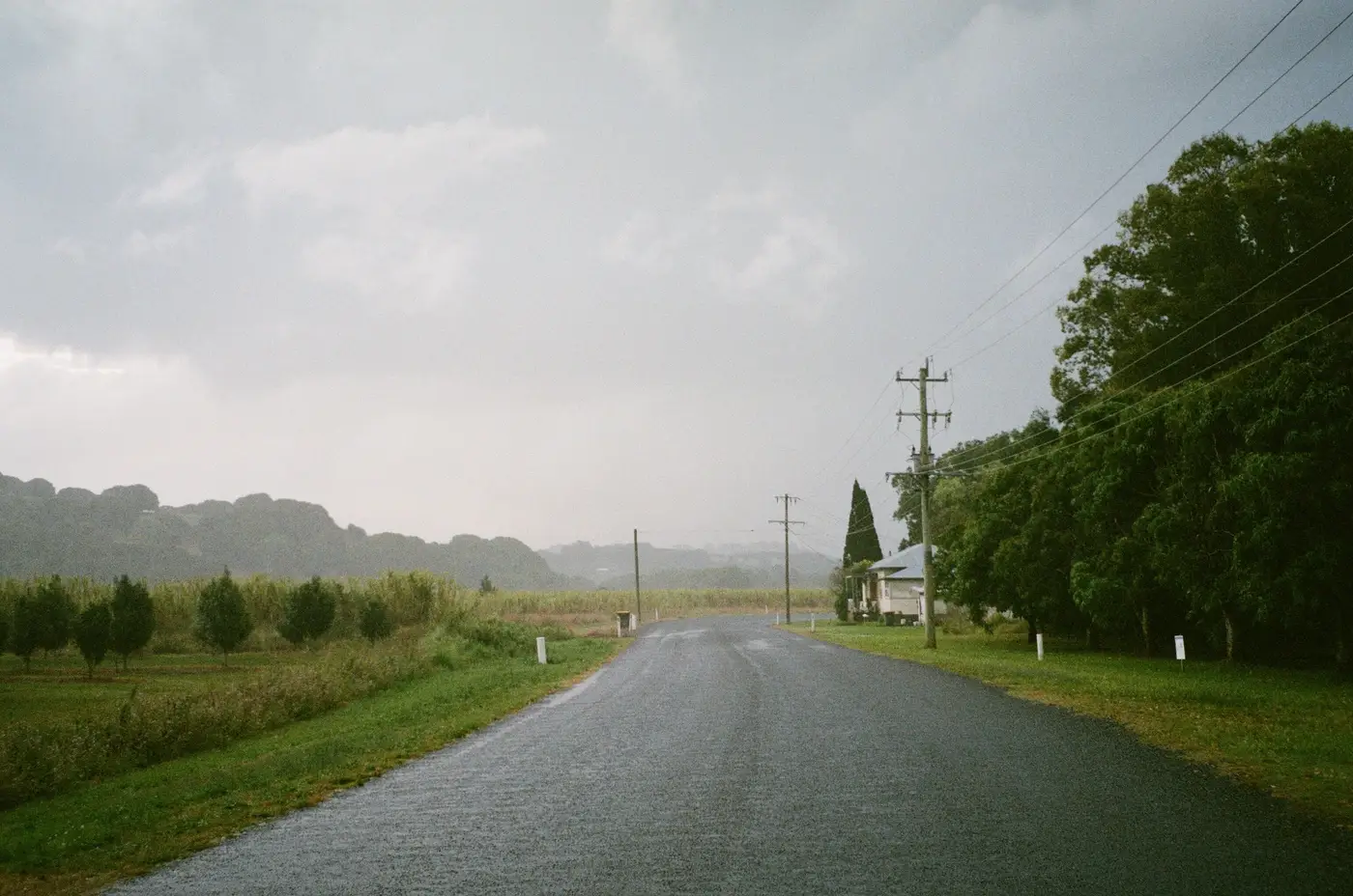
If you're trying to size up a route for a blade or transformer move before you commit a haul plan, the question isn't really "what's the GSD." It's "can I trust what I'm measuring on screen." Those aren't the same question, and conflating them is how a desk review misses a pinch point that a pilot car finds the hard way, three states into the move.
The pixel math, plainly
Ground sample distance is the size of ground one pixel covers. At 0.5 m GSD, a single pixel is a 0.5 m square on the earth. A rural two-lane carriageway running 6-7 m edge to edge spans roughly 12-14 pixels across at that resolution. A tighter lane, say 4 m, gives you around 8 pixels to work with.
That's enough pixels to place a road edge with some confidence, assuming the edge actually shows up as a contrast change in the image, pavement against gravel shoulder, gravel against grass. It is not enough to call out a curb line or a guardrail offset to the centimeter, and nobody screening a route from VHR imagery should be pretending otherwise. The resolution tells you where the road is and roughly how wide it runs. It does not replace a tape measure or a total station.
Coarser imagery, anything north of 1 m GSD, starts losing the shoulder-versus-ditch distinction entirely on narrower rural roads. You can usually still trace the centerline. You start guessing at width, and guessing at width is exactly what a constructability check exists to stop.
Why this matters more for route screening than for site mapping
A lot of satellite imagery use cases can tolerate soft edges. Counting rooftops, tracking a construction footprint, watching vegetation change season to season, a meter of slop barely registers.
A haul route doesn't work that way. The whole exercise of routing an abnormal load is finding the one bend radius, the one bridge span, the one laydown area that's too tight, and a transformer move doesn't get a second chance to not clear a corner. If your imagery can't resolve lane width with enough pixel density to catch a 4 m pinch on a farm road, you haven't screened the route. You've looked at a map and hoped.
This is also why cadence matters less here than it does on most VHR use cases. Most imagery products run on a schedule, weekly, monthly, whatever the revisit cycle allows. Route constructability isn't a monitoring problem, since a road doesn't narrow between Tuesday and Thursday. One clean pass over the corridor, pulled when the project needs it, is what the job calls for.
Where imagery alone stops answering the question
Resolution gets you the geometry: road width, bend radii, the rough footprint of a laydown area, whether a bridge deck looks wide enough to carry the load before anyone calls out to check the posted rating. It does not give you bridge load capacity, pavement condition, or overhead clearance under a transmission line crossing the route. Those still come from records, site visits or a structural engineer, not from a pixel count.
What a constructability read from VHR imagery does well is cut down how much of the route needs that kind of attention. Instead of sending a pilot car down every candidate corridor, you run the desk check first, flag the bends, spans and laydown areas that look tight on screen, and send the survey crew to confirm the handful of spots that need eyes on the ground.
That's the whole point of a route-and-site constructability screening pass before a haul plan gets locked in: narrow the field, then verify, instead of finding out about a pinch point from a truck that's already loaded.
If you've got a renewables site and a route that hasn't been screened yet, that's exactly the gap this fills.