Find out the route doesn't work before the survey vehicle is sent down it.
In the pilot, Constructability Screening reads road width, bend radii, bridge spans and laydown space from very-high-resolution imagery, so the pinch points on a blade or transformer route are on your desk before the haul plan is committed.
How a route gets checked now
The turbine supplier sends the component dimensions. You take a candidate route from the port or depot to the site gate and run swept paths at the bends that look tight on the mapping. Then a survey crew goes out in a pilot car and measures the route, bend by bend and bridge by bridge, and photographs the lot. What they find goes into the abnormal load route assessment, then the transport management plan, and later the haulier's notifications to the police, the highway authorities and the bridge owners.
The route is walked in order, so the one bend that fails sits somewhere in the middle of a survey you have already paid for. Sometimes a failure shows up after the haul plan has gone to the turbine supplier, and then a reroute reopens everything behind it: the crane window, the permits, the delivery campaign.
Some of those failures would have been visible from above. A road that narrows between two walls, a bend with a building on the inside, a laydown field that turns out to be a slope with a drain across it. The whole route is rarely looked at from above first, because no one on the project has that step in their scope.
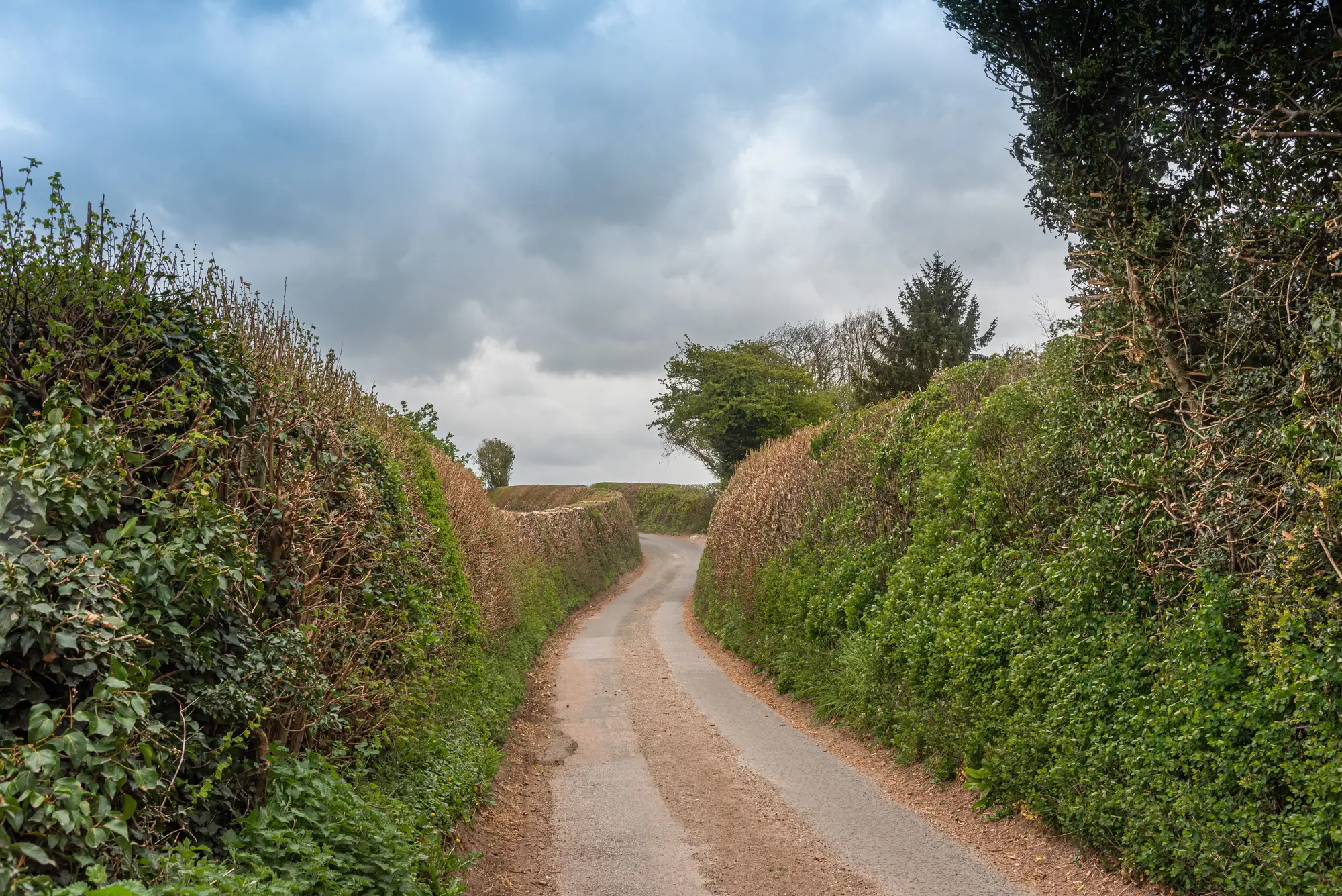
This page offers that step. We screen the route and the site from imagery and flag the segments where your load envelope meets a constraint, so the survey goes to those segments and not to the whole length.
What comes back
We are inviting early users to shape this, so what follows is the intended shape of a pilot on one route and one site, not a finished product.
2.1Route checkFlagged segments
Pinch points on road width, bend radius and bridge span, marked segment by segment along the route you give us, against the load envelope you give us. Delivered as a GIS layer with the flagged segments and a short note on each.
2.2Laydown readSite staging
The open, flat-looking ground at the site that could take blade or transformer staging, with its approximate extent and the access to it. A read of what the imagery shows, not a ground survey.
2.3Route reportPDF summary
A per-project constructability summary: the route, the flags, the images behind them and the limits that applied. It is written to sit beside your route assessment, not to replace it.
How it works
01Route and load in
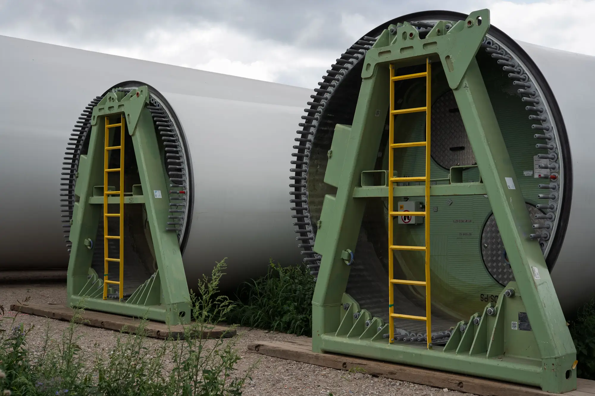
You send the haul route (a line or the road names, port to site entrance) and the site boundary, plus the load envelope: blade length, transformer dimensions, axle layout and turning radius.
02One timed pass
We use the most recent clear VHR image of the corridor, or order a pass timed to your project if the archive is out of date.
03Check
Width, bends, bridge spans and laydown space are read against your envelope, segment by segment.
04Report
You get the flagged route and site back, with the images behind each flag. The segments that pass the screen still go through your usual survey, and the flagged ones go first.
Where it fits in your workflow
Before the pilot-car survey, not instead of it
Use it as the first look. It can rule a route out early, or tell the survey crew which segments to measure properly. The swept path analysis, the route assessment, the transport management plan and the haulier's notifications stay yours.
Limits
- Limit 01
Not a route survey
This is a desk screen from imagery. It does not replace the pilot-car survey, the topographic survey or the haulier's own sign-off, and nothing here is certified or guaranteed passable.
- Limit 02
Resolution floor
At 0.5 m a pixel is half a metre across. Road width and bend shape can be read, but kerbs, verge edges, and narrow gaps between a wall and a hedge can be misjudged by a pixel or two. Flags are for checking, and a close pass is a call for a tape, not a verdict.
- Limit 03
What imagery cannot see
Overhead lines, signs, street furniture and tree limbs hanging over the road are not read. Clearance heights are not measured. Gradients and camber need elevation data that RGB imagery does not give.
- Limit 04
Bridges: span and deck only
We read a bridge's span and deck width from above. We never rate its load capacity. Load rating and condition sit with the bridge owner.
- Limit 05
Temporary obstructions
Parked vehicles, roadworks, seasonal works and weather change from week to week. A current site walk covers them. Imagery cannot.
- Limit 06
A pass, not a monitor
Each screen is one pass timed to your project. The route is not watched between passes. Clouds can push a pass later.
Who it's for
For
- EPC logistics planners and transport coordinators building the abnormal load route assessment for a wind, solar or substation project.
- Hauliers' route engineers who want to know which segments to put a survey crew on.
- Teams that will commit a haul plan to a turbine supplier and want the obvious failures found first.
Not for
- Anyone looking for a certified route, a permit, or a load-rating for a bridge.
- Live traffic, roadworks or closures: that needs a current site walk.
- Projects where the route is already surveyed and signed off.
- Marine or rail legs of the delivery.
Questions before a pilot
Does this replace a physical route survey?
No. It screens for the obvious failures first, so the survey goes to the segments that need it.
Can it rate a bridge's load capacity?
No. We read span and deck width from above. Load rating needs the bridge owner's data.
What load envelope do you check against?
Whatever you give us: blade length, transformer dimensions, axle layout, turning radius. Send what the supplier sent you.
How current is the imagery?
We use the most recent clear pass of the corridor, and the report shows the capture date for each image. If it is too old for your purpose, we say so.
Does it pick up parked vehicles or seasonal works?
No. Those need a current site walk.
How do we check it against our own survey?
Take a route you have already surveyed and don't send us the findings. Compare our flags with your survey when the report comes back and judge whether the screen would have saved you a trip.
Will it fit into our route assessment?
The flagged route comes as a GIS layer and the summary as a PDF, so you can drop both into your own drawings and document. We don't write into your CAD or planning tools.
Who owns the results and the imagery?
Ownership and licence terms for the report and the underlying imagery are written into the pilot agreement before anything is ordered. If your contracts team wants to review them, ask early.
How is a pilot priced?
We don't publish a price. A person will go through pilot terms with you once you are on the list.
Tell us the route before you commit to it.
Tell us where the load starts, where the site is and what the load measures. We will say whether a screen can help you before mobilisation.
Join the pilot list