Turning radius vs. bend radius on a haul route map
When a routing engineer pulls up a haul plan for a blade transport or a transformer move, two terms get used almost interchangeably, and they shouldn't be. Turning radius and bend radius sound like the same geometry problem. They're not measuring the same thing, and mixing them up is how a route that cleared the desk review ends up with a pilot car radioing back from a switchback that the trailer won't make it.
Turning radius is a property of the rig
Turning radius is the minimum radius a specific tractor-trailer combination needs to complete a turn without the rear axles cutting the corner or the overhang swinging into the opposite lane. It comes from the equipment, not the road. A standard five-axle flatbed has one number. A nine-axle extendable trailer hauling a 60-metre blade has a different one, and it changes again depending on whether there's a steering dolly on the back and how far the load overhangs the trailer bed.
This is the number the transport engineer pulls from the manufacturer's spec sheet or calculates with a swept-path model before the haul plan ever gets drawn. It tells you what the rig can do. It doesn't tell you anything about the road it's about to be driven on.
Bend radius is a property of the road
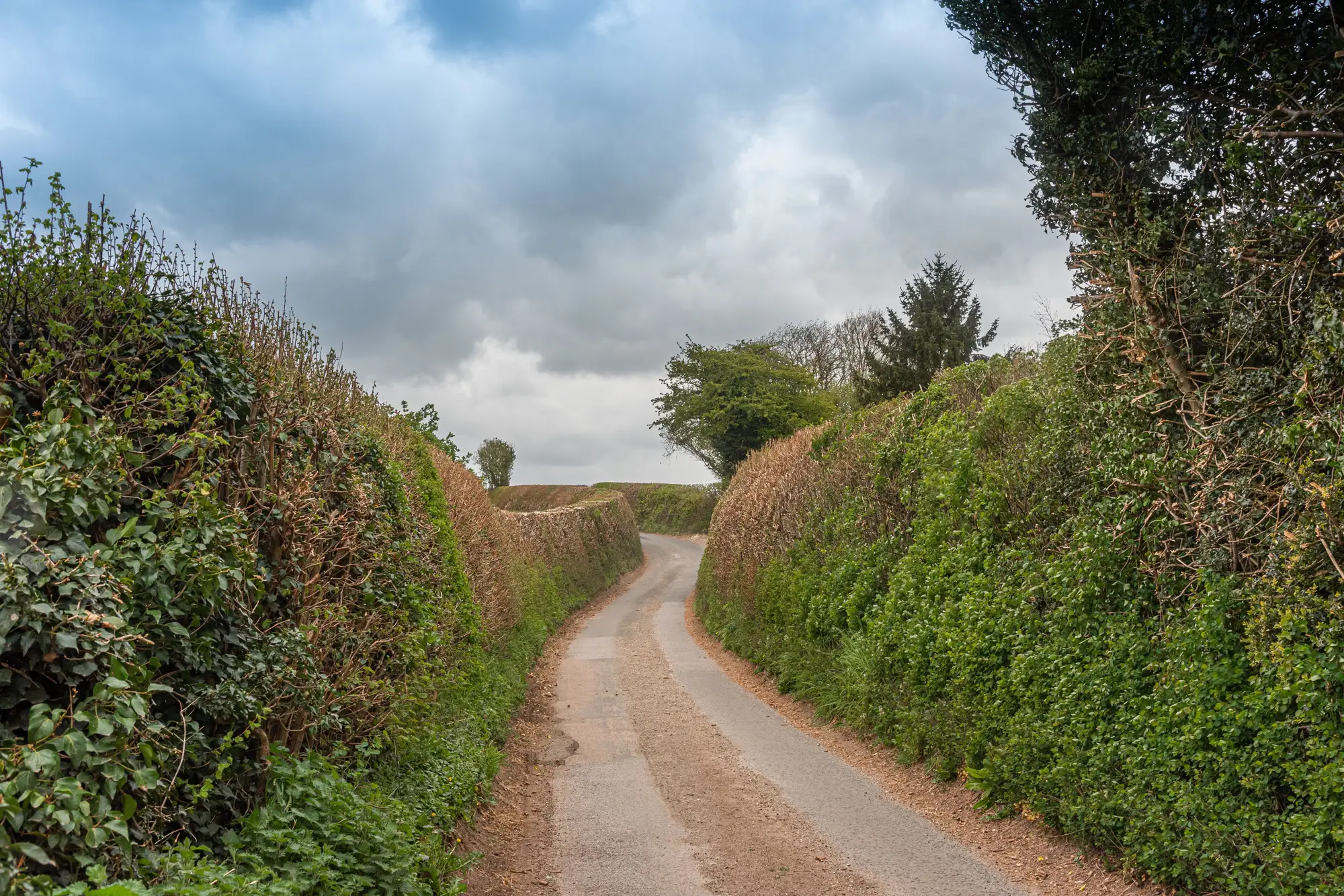
Bend radius, sometimes called curve radius, describes the actual curvature of the route itself, the radius you'd measure if you traced the centerline of a bend on the pavement. It's a site or corridor characteristic. A tight hairpin on a county road might have a 20 m bend radius. A gentle highway sweep might run to 400 m or more. This number comes from the road, not the vehicle.
Here's where the confusion causes real problems: a road's bend radius can be wider than the minimum turning radius your rig needs on paper, and the haul still fails at that bend, because turning radius alone doesn't account for offtracking, trailer overhang swinging over a shoulder, or a guardrail, culvert headwall, or signpost sitting right where the rear axles need to track. The two numbers have to be checked against each other, and against what's standing at the edge of that curve, not just compared in isolation.
Where this shows up on a real haul route
Site access roads built for standard delivery trucks are usually fine on bend radius for ordinary traffic. They were never built with a 50 m blade trailer's turning radius in mind. A road that every pickup and concrete truck on the project has used without issue can still fail the moment a nine-axle rig with a 30 m minimum turning radius tries to take the same bend, because the vehicle's geometry doesn't match what the corridor was cut for.
This is also where terminology on a haul route map gets loose in practice. A drawing marks "radius" at a bend without saying which one: the curve radius surveyed off the road, or the rig's swept-path minimum. On a route with dozens of bends between the highway and a turbine pad, that gap in labeling is what lets a route clear review on paper and still stop a convoy cold at bend fourteen.
Getting this wrong costs a specific kind of money. A pilot-car survey runs most of the way down the route before the crew finds the one bend where the two radii don't reconcile, and the haul plan gets reworked from that point backward. A route-and-site constructability read checks bend radii, road width, bridge spans, gradients and laydown space against VHR imagery before a haul plan commits to a route, which puts that bend in front of a desk reviewer instead of a pilot car.
If a haul plan is still waiting on confirmation that the road geometry actually matches what the rig needs, that's worth checking before the pilot car does.