Field notes: the switchback that would've stranded a transformer trailer
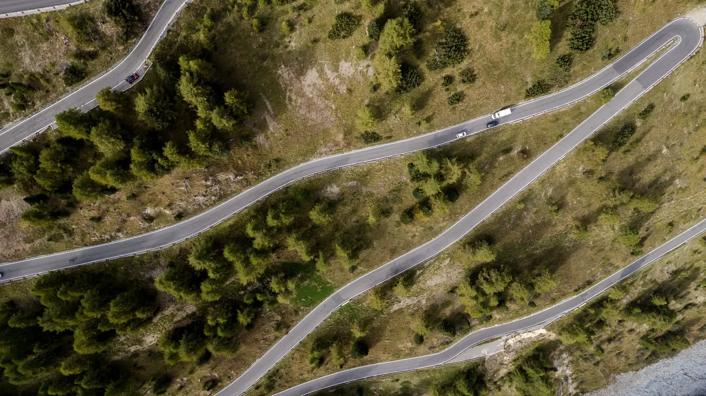
There's a particular kind of switchback that shows up on nearly every mountain or foothill route into a wind or substation site, and it almost never looks like trouble on the drawing.
The county road climbs out of a valley, cuts back on itself once or twice to gain elevation, and the as-builts show a radius that, on paper, clears a standard low-boy with room to spare. Somebody pulled the centerline years ago off a survey that predated the last resurfacing. Then a grading crew widened the cut on the uphill side and narrowed the shoulder on the downhill side to deal with runoff, and nobody updated the drawing because why would they. It's a county road. It carries log trucks and the occasional combine.
It does not carry a 150-foot transformer trailer with a jeep dolly and a steer dolly on the back, swinging through a 90-degree bend with a load that can't countersteer the way a conventional truck can.
A route survey crew can drive this switchback in a pickup, maybe trailing a pilot car, and come away with nothing to report, because a pickup doesn't load the bend the way a superload does. The mismatch only shows up once the actual rig commits to the curve: outriggers can't clear the embankment, and a transformer ends up sitting diagonally across a county road at 2 a.m. with escort vehicles backed up in both directions and a crew deciding whether to cut brush, shim the shoulder, or call off the move and eat the standby costs on the crane and the pilot cars.
What catches this before it turns into a standoff on a county road at 2 a.m. is a plain overhead look at the bend, at a resolution fine enough to measure the paved width and the curve geometry as they sit today, not as they were surveyed years back. The image shows where the shoulder has eroded, where a slope cut from a later project encroaches on the inside of the curve, and where the laydown area at the site entrance, the one a haul plan assumed was clear, sits half full of stockpiled culvert pipe from a drainage job that hasn't wrapped yet.
None of that requires sending anyone down the route first. It requires looking at the route from directly above, at a scale where a lane edge is a lane edge and not a guess, before the haul plan gets locked and the permits get filed around a radius that doesn't exist anymore.
The frustrating part of this job has never been a lack of data. County GIS has the road centerlines. The utility has as-builts on the interconnection. The EPC has a CAD swept-path model for the transformer rig. What's missing is a current, honest look at the ground that reconciles all three, because the thing that actually changed between the survey and the mobilization date is the ground itself: a washout, a berm, a stack of pipe, a culvert headwall that got replaced wider than the original.
That's the gap a desk-level constructability pass is built to close. It's also why a route-and-site constructability read exists as its own offer: a check on whether the route and the site work before anyone commits a haul plan to paper. Run the bend through a check like that before the pilot car ever leaves the yard.